slow road, pt 2
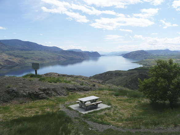
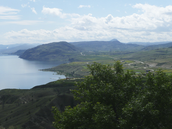
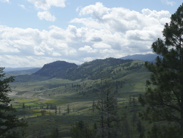
Continuing west (see part 1) from the city of Kamloops along the Trans-Canada Highway, we soon came upon a magestic view over Kamloops Lake as the highway skirted around it. Funny how we had forgotten it from not traveling this route in a couple of decades at least. The dry grassland hills are still relatively green from a wet spring.
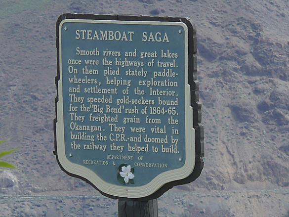
We appreciated how many roadside viewpoints are provided along this major cross-Canada route compared to the Coquihalla Highway, built much much later for truckers looking for a faster route to and from the coast. As you can see from the sign on the west end of the lake, this was an active water transportation route in the old Gold Rush days in BC. We’ll be entering some of that Gold Rush territory further on in our slow journey home.
The rest of the series are here:
part 3, part 4, part 5, interlude, part 6 and the finale.
June 26, 2013 in Canada and BC, History, Travel by Marja-Leena